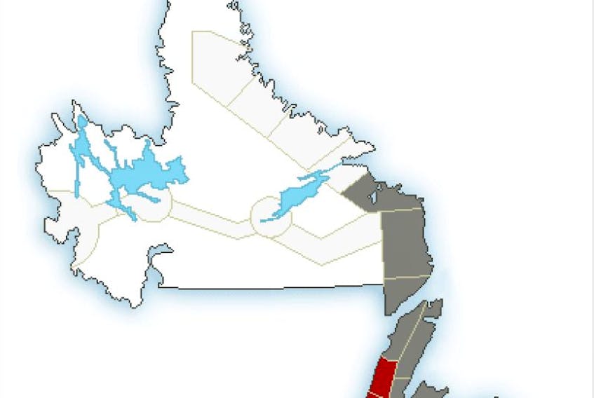
For the Avalon Peninsula, snow, blowing snow and strong east to southeasterly winds ahead of this system are forecast to push into southwestern Newfoundland overnight tonight and spread to the remainder of the island Wednesday morning, Environment Canada says.
The precipitation is expected to changeover to ice pellets or freezing rain and eventually over to rain throughout the day Wednesday, except for the Great Northern Peninsula where it is expected to remain mainly as snow.
Strong winds are expected over much of the island with the highest gusts occurring along the south coast and areas of the west coast of Newfoundland prone to enhanced easterlies.
In metro St. John's, winds will gust to 80 near noon Wednesday.
Temperatures in metro Wednesday and Thursday are expected to be 6 C and 1 C today.
Precipitation will briefly taper off Wednesday night before it redevelops as a second weaker low pressure system approaches the island. Conditions are expected to improve throughout the day Thursday.
There is also the potential for higher than normal water levels and pounding surf during high tide on Wednesday morning along the south coast.