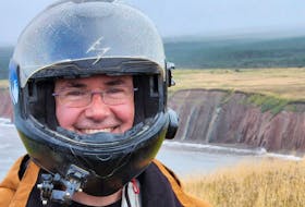
CHARLOTTETOWN, P.E.I. — Bryson Guptill and three of his friends have spent the past month seeing Prince Edward Island like they’ve never seen it before.
And now, after documenting their journey, they intend to share it with Islanders and the rest of the world and, hopefully, attract more tourists to the province.
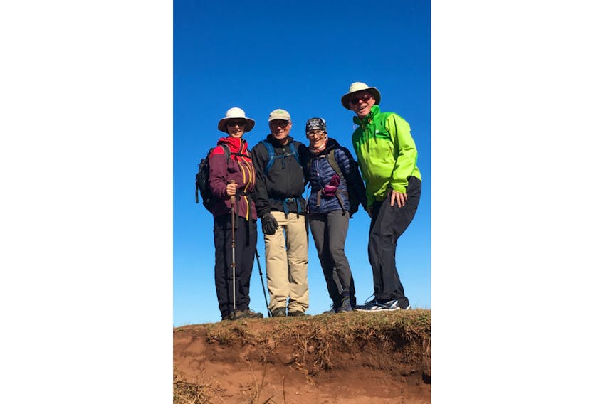
Guptill, a former president of Island Trails, and his fellow hikers completed a month-long pilgrimage that literally took them around the Island, a 700-kilometre journey designed to test out a new trail one of the hikers helped map out.
“We organized and then decided to walk around Prince Edward Island on a route that would take us out to the coastline instead of just up the middle of the Island,’’ Guptill said Thursday after the hikers completed their journey at the Joe Ghiz Park in Charlottetown.
By middle of the Island, he’s referring to the Confederation Trail. While it also has great views, Guptill’s group wanted to venture out to the coast, especially on the eastern and western tips of the Island.
They modelled their journey after the El Camino de Santiago in Spain, an 800-kilometre hiking path that stretches from France to Santiago, which members of Guptill’s group have done.

Guptill’s group tried to develop a route that would be interesting, one which incorporated portions of the Confederation Trail with various secondary roads and the beaches. They walked about 20 to 25 kilometres each day. The group assumed it would need to pay for accommodations along the way but, to their surprise, Islanders who came in contact with them on their journey opened up their homes for free and cooked them meals. Of the 30 nights they spent hiking, only five of them were spent in bed and breakfast operations.
“We didn’t anticipate that,’’ Guptill said. “People came out of the woodwork (to help us), people we didn’t know before.
“I think there is a lot of interest in hosting or billeting (hikers) . . . so that’s what makes it a lot more like the Camino in the sense that, often, these pilgrims who are walking often don’t have the money to pay for a B&B.’’
They stayed with farmers and fishermen and others from various walks of life each night.
“(We) learned a whole lot about these people and became good friends with them. Several of them have actually joined us walking. We weren’t anticipating that at all.’’
Guptill said there are stunning vistas on the secondary roads that most people miss when they’re out driving.
The Confederation Trail made up more than half of their route, but a quarter of their journey took them down P.E.I.’s infamous red dirt roads under a canopy of trees exploding in their fall colours. They walked down the beach from Tignish to Kildare Capes and then back out onto the road again. They walked along the north shore through the P.E.I. National Park.
The entire journey has been posted to the Island Trails Facebook page and has been shared with a number of El Camino Facebook groups as a well as a group called Hiking the Camino de Santiago and then the World. They’ve also shared it with various provincial El Camino group pages and the Canadian Company of Pilgrims.
“And, I’m hoping when we’re finished we’ll set up a Facebook page called Walk Around the Island. It will be a closed group (but) we’ve had hundreds and hundreds of inquiries.’’