HUMBER ARM SOUTH
Paul Wylezol is thrilled to finally have a base from which to explain the fascinating history and geology of the Bay of Islands.
For the past several years, the Corner Brook resident has been promoting the idea of the Cabox Geopark, a designation he is seeking to draw more attention to the tourism product available in the area.
On Friday, some special guests got a sneak peek at the Cabox Geopark Information Centre, which will be a component of a new business enterprise soon to open in the community of Benoit’s Cove in the town of Humber Arm South.
The Cabox refers to the peak in the Lewis Hills that marks the highest point of land on the island of Newfoundland. For Wylezol, the Cabox is just a starting point to tell the unique geological story that surrounds the Bay of Islands, along with the geographical history initiated by Capt. James Cook’s exploration of the region in the 1760s.
Related story
Friday’s launch showcased the permanent displays that will educate visitors to the Saltbox about the rationale for the aspiring geopark. It also included a series of about a dozen interpretive panels that will soon be installed along the James Cook Heritage Trail in Blow-Me-Down Provincial Park and which will tell the story of the famous cartographer.
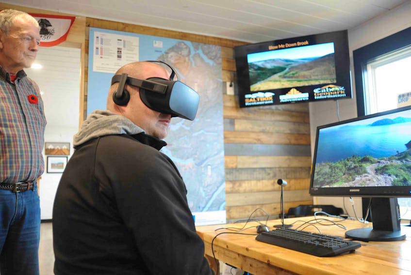
Wylezol also had a virtual reality program set up Friday that gave users a feel for what it’s actually like to visit some nine different locations throughout the region. While that program is being used in school presentations, Wylezol is hoping to have a similar setup permanently available at the information centre.
“That way, people can experience these places and then maybe be inspired enough to go on an adventure to actually visit some of them,” he said.
Ultimately, Wylezol would like to have the geopark concept recognized by UNESCO.
“We have partners in Gros More and we love Gros Morne, but we want to promote this area as somewhat equal because the geology and the history is just as interesting,” said Wylezol.