Wilf Porter is looking forward to increased use of what the Southwest Coast Joint Council refers to as the mid-island route.
The Burgeo resident said he used the road often last summer, mostly on an all-terrain vehicle, and that it was in excellent shape not just for ATVs but cars or pick-ups, too.
He said it was accessible for use last year from June until last November or early December. “To me, it was better than when Abitibi-Consolidated was in there logging.”
Related stories:
New bridges helping mid-island route become reality
Resource road that makes up mid-island route has no activity right now
Peter Fenwick, chairman of the Southwest Coast Joint Council, said after five years of effort the final piece in reopening the road link between Buchans and the Burgeo Road is something to celebrate, and that celebration will occur at a meeting of the Southwest Coast Joint Council in the Stephenville Crossing Town Hall, 10 a.m. Saturday.
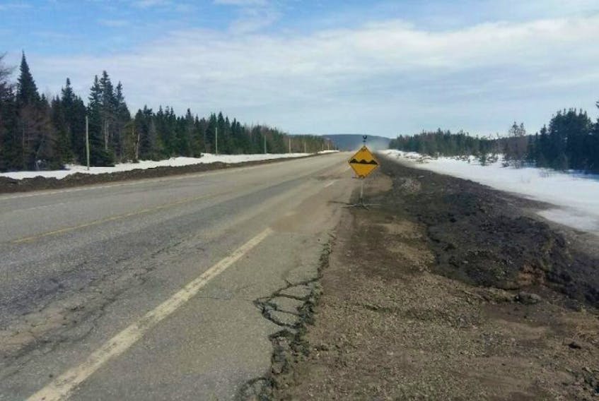
Seasonal route between Buchans and the Burgeo Road, Route 480
The province has no plans to put up signage along the former resource road to keep travellers from losing their way. Using facilities of the French cultural group ARCO (L’Association régionale de la côte Ouest) signs were constructed that should help drivers find their way along the route.
Those signs will be turned over to Southwest Coast Joint Council vice-chair Barbara Barter at Saturday’s meeting. As former mayor of Burgeo, Barter was one of the driving forces behind the campaign to rebuild the road. She is arranging for cabin owners to help place the signs in the best spots come the spring. Once that's done an announcement will be made to let people know there's a new way across the island.
Porter said with the new signage, individuals looking to travel that road will know better where they’re at and how far they have left to travel to get to destinations.He said while he hopes the road will never have to be used in the event of fires or floods, it could be useful as an alternate route should the need arise.
He said there are many people who use it with cabin owners from Stephenville, Corner Brook, the Northeast Coast and some from as far away as St. John’s.
“It would be a nice tourism alternative for tourists who doesn’t mind travelling a dirt road,” he said. “There’s some beautiful scenery there.”
Porter also sees an advantage in gas savings, as it cuts about 200 km off a trans-island trip.
Work on the road in recent years included ditching, grading and brush clearing, along with replacing three bridges.
Fenwick said although the resource road will not be maintained in the winter, the Southwest Coast Joint Council hopes as traffic increases, an all-weather road will be built in its place.