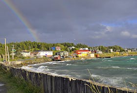
We’re going to wrap up the work week under a lovely ridge of high pressure, so dust off those sunglasses.
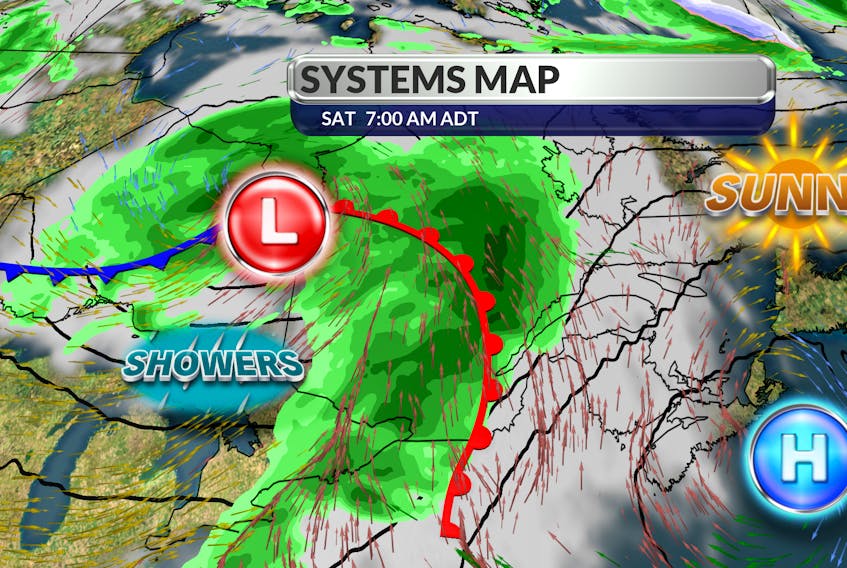
A mix of sun and cloud and a fresh north wind should make for a fine Friday. Things do get a little complicated after that but don’t cancel your outdoor plans. The timing on an approaching frontal wave is quite good. As the warm front nears, showers will develop from west to east – but not until the early hours of Sunday morning. The front is not well defined and it will continue to weaken as it reaches our region.
You’ll want to keep an eye on the sky on Sunday. We’ll be between the two fronts with some sun and a little more heat but scattered showers are also possible. The trailing cold front will make its move on Monday with showers and a wind shift to the northeast. Temperatures will be slightly below seasonal values for the early part of next week.

- Want more weather information? Visit your weather page.
- Have a weather question, photo or drawing to share with Cindy Day? Email [email protected]
Cindy Day is the chief meteorologist for SaltWire Network.