It will be 17 C, with a risk of a thundershower this afternoon, according to Environment Canada.
There are also fog patches coming with two to four millimetres of rain.
Saturday is calling for just 8 C with showers or drizzle, while Sunday could see flurries and rain and a very chilly 2 C, dipping to 0 C at night.
Monday calls for 4 C and showers.
Most of eastern N.L. will see similar weather.
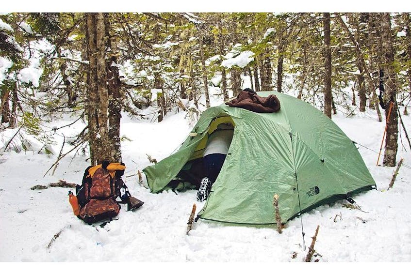
But if you are headed out to central (Gander, Grand Falls-Windsor and area) pack a parka especially if you are tenting, as Environment Canada still has a special weather statement in effect for wintry weather.
Showers, with possible thundershowers, are forecast to spread over central and northeastern Newfoundland today ahead of an approaching area of low pressure, the national weather forecaster has predicted.
“Showers will continue tonight and Saturday, then become mixed with or change over to snow Saturday evening as a cold northerly flow strengthens behind the system. Snow and strong north to northwesterly winds are forecast to persist into Sunday morning, and then gradually taper off Sunday afternoon and evening,” the forecast says.
The potential exists for significant snowfall amounts, potentially exceeding warning criteria over some areas.
Temperatures will range form 15 C today in central to and 7 C Saturday, 3 C on Sunday and 7 C on Monday.
The west coast around Corner Brook is also subject to a special weather statement for a potentially significant snowfall.
Periods of rain will persist into Saturday morning in advance of an approaching area of low pressure. Over western Newfoundland, a few thunder showers may accompany the rain today, Environment Canada has predicted.
“Showers are forecast to change to snow over higher terrain early Saturday as a cold northerly flow strengthens behind the system, with a possibility for freezing rain over some locations during the changeover. Along the immediate coastline, rain will only mix with or briefly change to snow at times as temperatures remain above freezing. The mix of rain and snow and strong northerly winds will likely continue through the day Saturday and into Saturday night, before tapering off Sunday morning. Rainfall and snowfall warnings have been issued for the Great Northern Peninsula and may need to be expanded with future forecasts,” the forecast says.
Temperatures in Corner Brook range from 18 C today to 5 C Saturday, 4 C on Sunday and 12 C and sunny on Monday.
There are no alerts for the Port aux Basques area, although some snow is forecast for Saturday and Sunday. The highest temperatures are 11 C today and Monday.
Happy Valley-Goose Bay also has a special weather statement in effect and is expecting five centimetres of snow tonight and another five Saturday.
While temperatures will hit 0 C on Saturday, it will warm up to 15 C Monday.
Special weather statements are in effect for Bay of Exploits, Bonaventure North, Bonaventure Peninsula, Buchanan and the Interior, Deer Lake-Humber Valley, Green Bay-White Bay, Gros Morne, Parson's Pond Hawke's Bay, Rigolet, Terra Nova and Upper Lake Melville.
Rainfall and snowfall warnings have been issued for Norman Bay to Lodge Bay, Northern Peninsula East, Port Saunders and the Straits and Red Bay to L'Anse-au-Clair.
Cartwright to Black Tickle and Eagle River are facing snowfall warnings.
Along with the sloppy weather in some areas, police ar expected to be out with traffic checkpoints looking for speeders, distracted drivers, other highway infractions and impaired drivers.