It’s going to be a wet and mild weekend in much of western Newfoundland this weekend.
According to a special weather statement issued by Environment Canada, an elongated trough of low pressure will approach Newfoundland from the west late Friday and remain nearly stationary over central Newfoundland through Sunday, bringing a steady stream of moisture to the island.
The Weather Network is forecasting temperatures in the Corner Brook vicinity to reach highs of between 7C Friday and 8 C Saturday, with as much as 70 millimetres of rain to fall during those two days.
Many areas across the island will experience substantial snowmelt, starting Friday as temperatures rise above freezing.
The special weather statement from Environment Canada goes on to say a prolonged period of freezing rain causing potentially hazardous ice build-up is expected north of the trough, including portions of the east coast, west coast, central Newfoundland, and the Northern Peninsula.
To the south of the trough, significant rain and widespread fog is expected, and will likely warrant rainfall warnings for parts of western and southern Newfoundland.
The temperatures are expected to dip back down below freezing Sunday night.
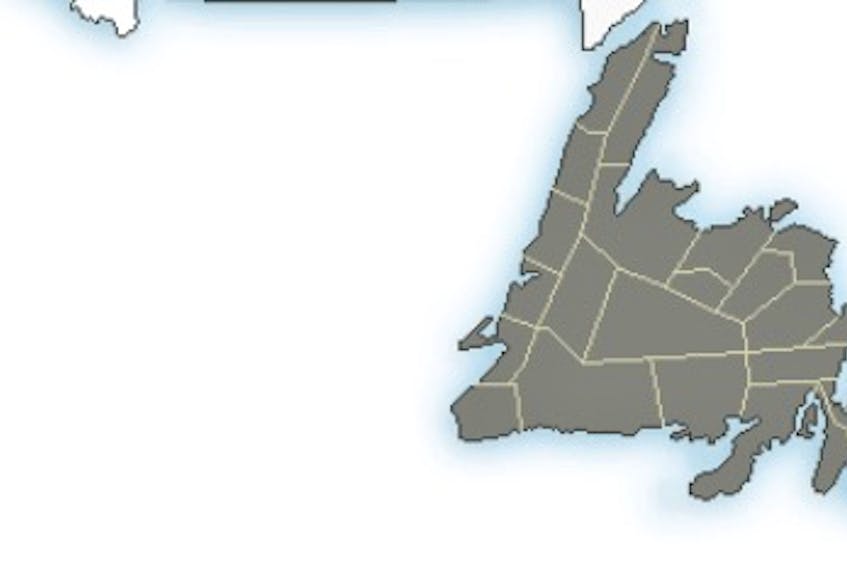
Here is a breakdown of the forecast by region:
- For the south and west coasts: rain, heavy at times, will begin Friday night or Saturday morning and persist until Saturday night. Amounts will likely exceed 50 millimetres in some areas. Substantial snowmelt and runoff is anticipated. Warnings will likely be required.
- For the Northern and Baie Verte Peninsulas: rain will begin by Friday night, and change to a prolonged period of freezing rain by early Saturday. Significant ice build-up is likely before precipitation changes to snow Saturday night or Sunday.
- For central Newfoundland: periods of rain will begin Friday night or Saturday morning, but may change to freezing rain Saturday night. Mild air accompanying the rain will contribute to significant snowmelt.
- For eastern Newfoundland, including the Avalon Peninsula: occasional showers or drizzle are expected on Saturday, followed by steadier rain on Sunday. With temperatures likely exceeding 10 C, significant snowmelt can be expected.
****This story was updated at 11:15 a.m. 11-01-2018 to include regional breakdowns of the Environment Canada forecast.


