Environment Canada has updated its special weather statement for the island of Newfoundland.
The alert is no longer in effect for the entire island, but remains for the western and central portions of Newfoundland.
The updated statement also makes mention of strong winds being associated with the low-pressure weather system approaching the province from the west Friday.
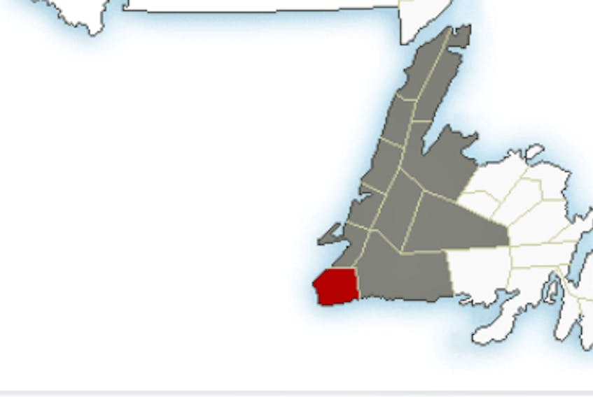
A wind warning has been issued for The Wreckhouse area in southwestern Newfoundland, where wind gusts are expected to reach close to 100 kilometres per hour Friday morning. Strong winds, with gusts of between 60 and 80 kilometres per hour, are also forecast for other areas of western Newfoundland Friday afternoon.
According to Environment Canada, further warnings may be required in other areas prone to enhanced east to southeasterly winds.
The winds are forecast to diminish Friday evening.
The system is expected to bring a wintry mix of rain and snow to some areas.
Rain is now expected to begin on the southwest coast Friday morning and spread north and eastward throughout the day. The rain is expected to transition to light snow during the night, especially over higher terrain in central and the west coast of Newfoundland.
The snow will change back to or become mixed with rain Saturday, in areas where temperatures rise above freezing. Precipitation is expected to taper off by Saturday evening.
Though snowfall accumulations may not be significant, motorists are advised to slow down and drive with caution.